
Volvo Ocean Race fleet concertinas as breeze goes funky
by Richard Gladwell, Sail-World.com/nz 19 Feb 2018 04:01 UTC
19 February 2018
Leg 6 to Auckland, Day 13 on board Sun hung Kai / Scallywag. Best conditions so far today - Yikes!. 18 February, © Jeremie Lecaudey / Volvo Ocean Race
Navigators in the Volvo Ocean Race have some big decisions ahead as the fleet compresses ahead of entering an area of light winds created in the wake of two cyclones passing through the South West Pacific.
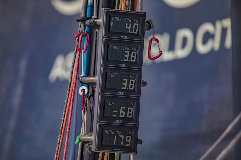
On board the Volvo Ocean Race entrants they are restricted by the organisers to receiving just two weather feeds - GFS and the detailed ECMWF.
Both those feeds are recommending a course to the west of New Caledonia. The other two feeds enhanced by Predictwind for its course routing cover another couple of options - one to work close to a Great Circle route, and the other to make a radical course change to head east and pass closer to Fiji before heading for Auckland.
The passage of Cyclone Gita, due to hit New Zealand inside 24 hours has played havoc with SW Pacific weather systems in more ways than one.
For the Volvo Ocean racers the effect of Gita is to create a large area of funky breezes between their current location, around the Solomon Islands and to a few hundred nautical miles of New Zealand.
The funky area of breeze has no hard definitions and alters constantly in shape with streaks of light winds flicking through it. That phenomenon might tempt crews to just stick to a Great Circle course - being the shortest route to Auckland and just playing the shifts - and hope that they can jump from patch to patch most of the way to Auckland.
According to the direct route to the finish from Volvo Ocean Race control the boats have about 1700nm to sail, however according to Predictwind.com the best case for race leader Scallywag is for there to be 1900nm on one route and 2275nm on another.
As always happens with weather routing in a funky breeze some fairly radical routes get thrown up.
One of the routes (GFS in green) - a feed that can be seen on board recommends the boats to go down the centre of the Tasman Sea until they are on the same latitude as North Cape and then making a hard turn to port to cut across to New Zealand on a very string SW breeze - which offsets the extra sailing miles involved.
The other course which the boats can see is the detailed ECMWF (yellow in the diagram) takes a more conservative route.
Invisible to the boats are the other two feeds which opt for more easterly courses. Maybe if the navigators could see those two options they'd realise that the route to Auckland is a crap-shoot.
Interestingly aboard the former leg leader Team AzkoNobel the discussion on one of their recent videos revolved around where to go next, and Fiji seemed to feature on their itinerary. That would be contrary to the weather feeds they can see on board, which would be a very courageous navigation decision.
The three boats at the front of the fleet are now spread wide laterally, with just 2.7nm on the direct route basis separating the three - race leader SHK Scallywag in the west, Team Brunel in the east and Team AzkoNobel in the centre. Team Brunel pulled back a 60nm miles by sailing at speeds that averaged more than 10kts faster than the other two in just one sched. Brunel averaged 14.5kts while Scallywag and AzkoNobel sailed at just 4.5kts average in the same period.
Behind those three the other boats are making good time sailing at average speeds similar to Brunel.
Quite what happens next is anyone's guess.
The finish times for the fleet are now being put on the early morning of February 27, New Zealand time, however those are probably quite optimistic given that the latest routing is always correct.
The best the navigators can hope for a pass mark that is better than the rest of the class.